


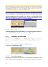
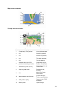
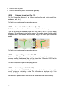
4.5.4 Follow mode - lock to GPS position and heading (No. 6)
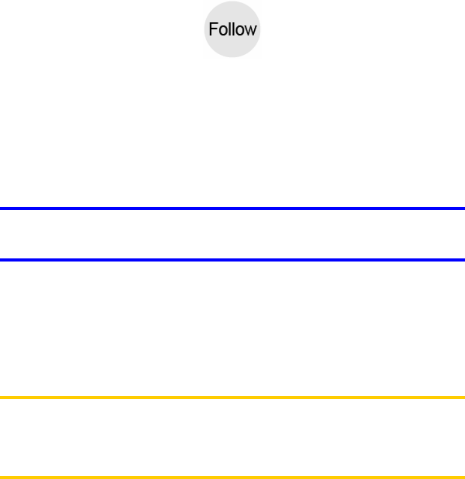
This semi-transparent icon is displayed if GPS position is available, and the map has
been moved. It also appears when you scale or tilt the map while Smart Zoom is
enabled.
This semi-transparent icon is displayed if GPS position is available, and the map has
been moved or rotated. It also appears when you scale or tilt the map while Smart
Zoom is enabled.
Normally N.I.C.E 430 positions the map to keep the GPS position visible somewhere
on the map (when North-up orientation is selected), or always at the bottom center of
the map (when Track-up orientation is selected).
If you manually move the map, it will freeze the map in the new position. To return to
the GPS position, use this Follow button.
When Smart Zoom is enabled, scaling or tilting the map also stops the automatic
zooming or automatic tilting respectively. To reactivate Smart Zoom, tap this button.
Tip: In Advanced settings you can set a delay time after which N.I.C.E 430 pushes
the Follow button for you on the Cockpit screen automatically (Page 75). This can be
turned on for re-enabling both Lock-to-Position and Smart Zoom.
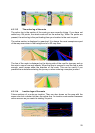
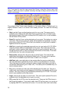
4.5.5 Cursor (No. 7)
As described earlier (Page 22), if you tap the map somewhere or select one specific
item in Find, it will become the selected point on the map, marked with a small red
dot and radiating red circles to make it conspicuous. You can use this point as
starting point, via point or destination for your route, you can search for a POI near it,
mark it with a pin, or save it as a POI.
Note: When GPS position is available, the Follow button will appear indicating that
you have disabled Lock-to-Position. Tapping the Follow button will re-enable the
position lock and move the cursor back to the current GPS position. The same
happens when N.I.C.E 430 restores Lock-to-Position automatically on the Cockpit
screen, if it is set in Advanced settings (Page 75).
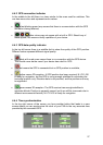
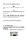
4.5.6 Map scale (No. 8)
The scale indicator is only available on the Map screen. In 2D map view it represents
the scale of the map. In 3D view it is the scale of the nearest part of the map only.
32