


Tip: If you do not want to be bothered by street names during navigation, turn them
off in Map Options (Page 66).
Tip: Major roads usually have alternative names (numbering) besides the primary
name. You can choose whether to display these alternative names or not. You can
set this in Map Options (Page 66).
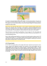
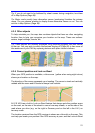
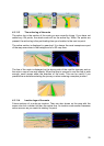
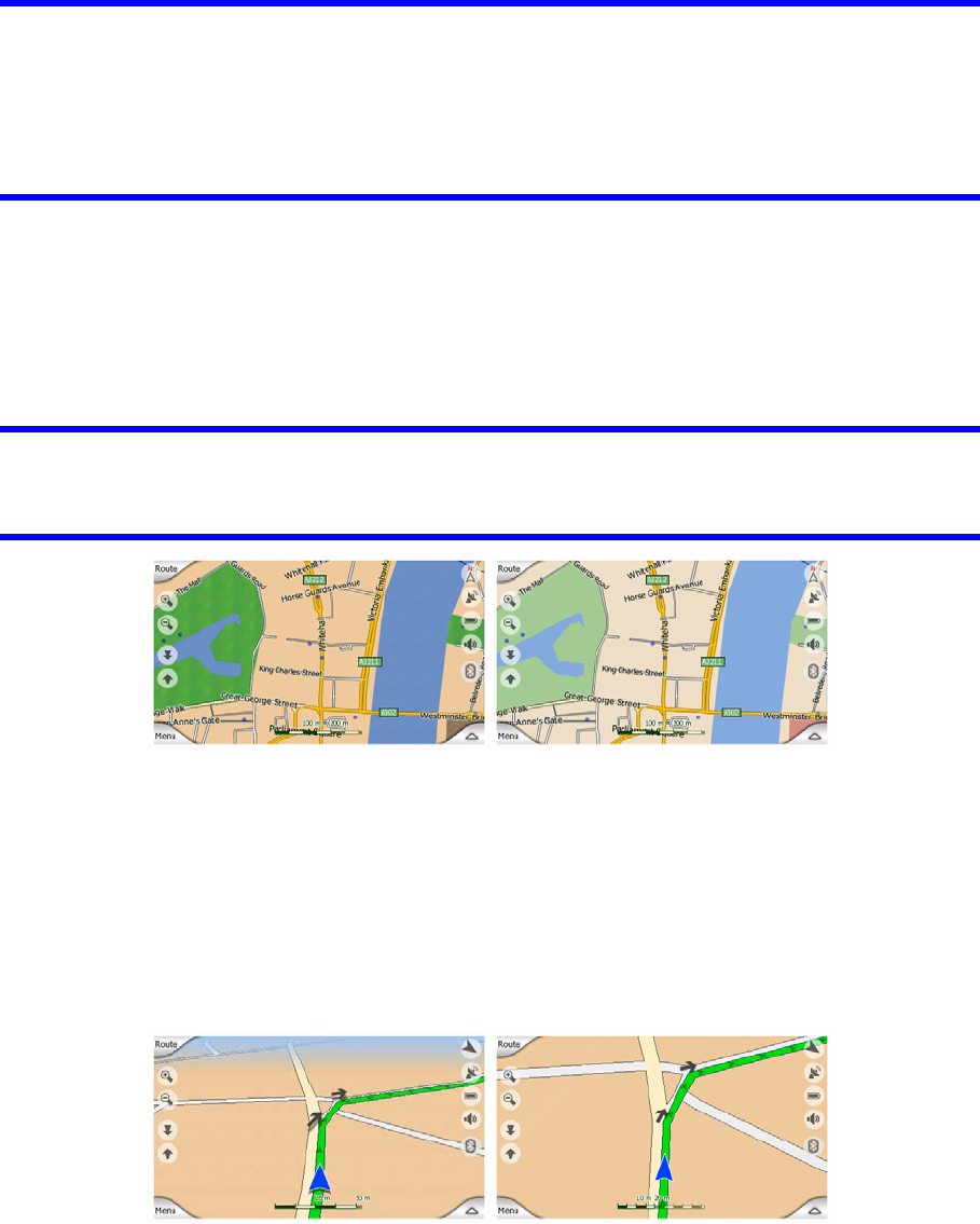
4.3.5 Other objects
To help orientate you, the map also contains objects that have no other navigating
function than to help you recognize your location on the map. These are surface-
waters, large buildings, forests, etc.
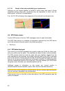
Tip: These objects are normally displayed using textured polygons that look natural
to the eye. You may wish to switch the textured display off (Page 66) to free some of
the resources of your PNA by replacing textures with plain colored surfaces.
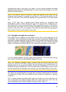
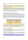
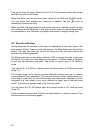
4.3.6 Current position and Lock-on-Road
When your GPS position is available, a blue arrow (yellow when using night colors)
shows your location on the map.
The direction of the arrow represents your heading. The arrow is sized and vertically
rotated with the zoom and tilt levels to always look realistic.
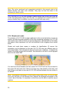
N.I.C.E 430 has a built-in Lock-on-Road feature that always puts the position arrow
on the road, on the axis of the street in case of one-way streets, or on the side of the
road where you drive (e.g. on the right in Germany and on the left in the U.K.) on
two-way roads.
The location received from the GPS receiver is shown as a blue dot on the map. This
can help you locate your position if the GPS accuracy is poor, and the Lock-on-Road
21