


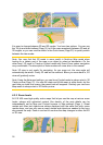
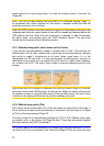
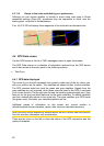
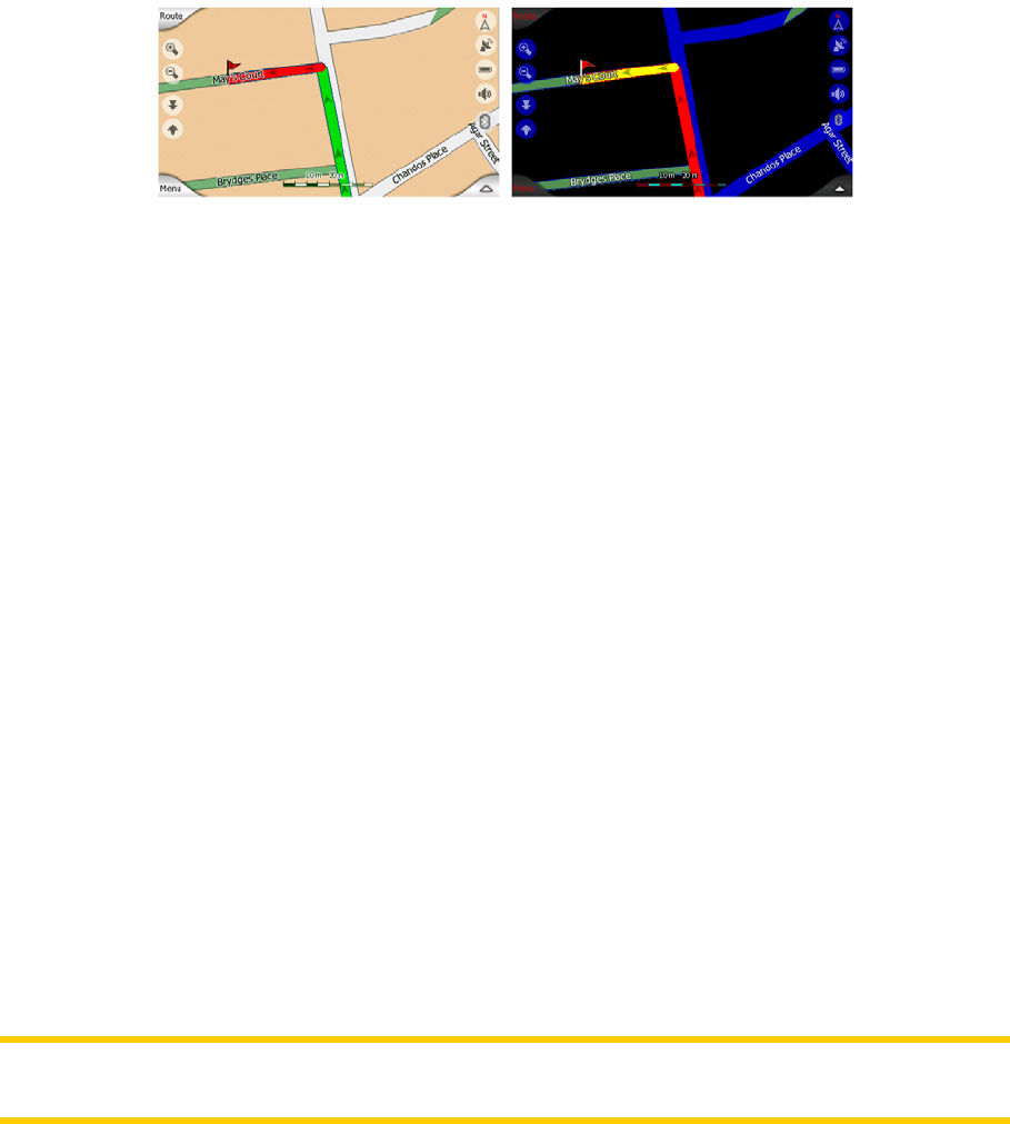
4.3.11.5 Roads in the route excluded by your preferences
Although you can choose whether to include or avoid some road types in Route
parameter settings (Page 69), sometimes they are impossible to avoid near the
starting point, via points or the destination.
If so, N.I.C.E 430 will display those segments of the route with an alternate color.
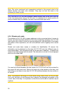
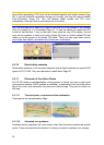
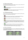
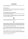
4.4 GPS Data screen
Tap the GPS button at the list of TMC messages screen to open this window.
The GPS Data screen is a collection of information received from the GPS device
and it also serves as the entry point to the following screens:
• Time Sync.
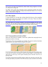
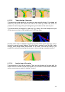
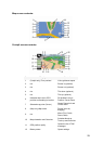
4.4.1 GPS data displayed
The virtual sky on the left represents the currently visible part of the sky above you,
with your position as the center. The satellites are shown at their current positions.
The GPS receives data from both the green and gray satellites. Signals from the
gray satellites are only received, while green ones are used by the GPS to calculate
your current location. On the right you can see the satellite signal strength bars. Grey
bars are for the gray and black bars are for the green satellites. To identify satellites
use their numbers also shown in the virtual sky. The more satellites your GPS tracks
(the green ones), the better your calculated position will be.
Additional pieces of information on this screen are: current position in
latitude/longitude format, elevation, speed, date, time and calculated accuracy.
Note: Accuracy can be affected by several factors the GPS cannot take into account.
Use this accuracy information only as estimation.
There are two icons on the left to show the status of the GPS connection and the
quality of reception.
26