


Note: The colors mentioned and screenshots included in this manual refer to the
default daytime and night color schemes. They may not look the same in the
schemes you have chosen.
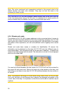
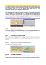
Tip: If you use N.I.C.E 430 after sunrise or before sunset, look for the sun in the sky
in the map background using a flat 3D view. It is displayed at its actual position to
give you another way to orientate, and also to provide some eye candy.
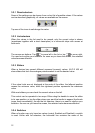
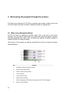
4.3.4 Streets and roads
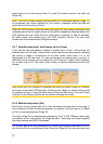
The similarity of N.I.C.E 430 to paper roadmaps is also convenient when it comes to
streets, the most important elements of the map concerning navigation. N.I.C.E 430
uses similar color codes to those you are accustomed to, and the width of the streets
also refers to their importance, so it will not be difficult to tell a highway from a small
street.
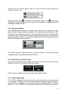
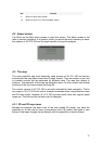
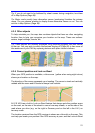
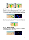
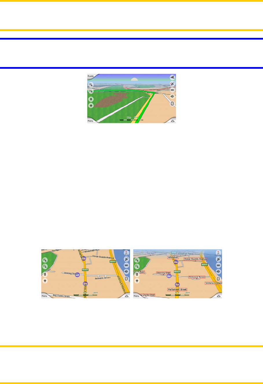
Streets and roads have names or numbers for identification. Of course, this
information can be displayed on the map. N.I.C.E 430 uses two different ways to
show street labels. The conventional way is the same as a roadmap – it displays the
name of the street aligned with the street. The alternative is a kind of virtual signpost
stuck into the street itself.
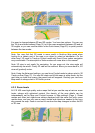
You need not choose between the two modes. N.I.C.E 430 will use the one best for
the current tilt and zoom level. Zoom in to have only a few streets on the map, and
start tilting up and down to see how N.I.C.E 430 switches between the two modes in
an instant.
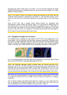
Note: The automatic switching is on even when using Smart Zoom. At first you may
find it odd, but later you will discover how it adjusts the displayed information to the
current view of the map. It is important, as the driver must be able to read the map at
a glance.
20