


NM-PN600 User Manual English
26
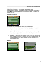
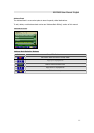
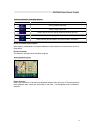
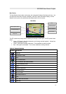
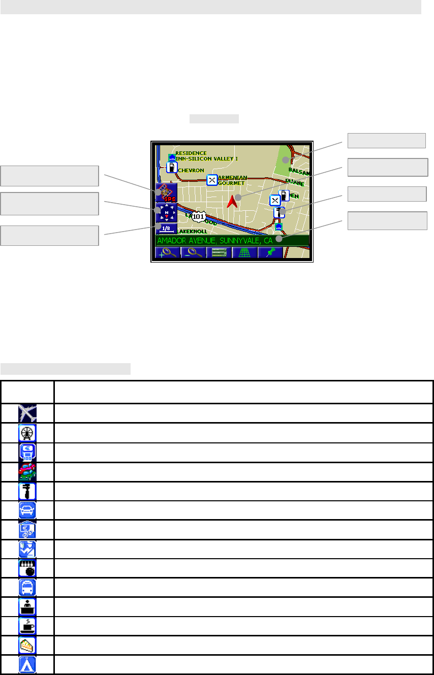
Map Display
The Map Display shows roads, road names, and cartographic features like lakes and rivers. You
can adjust the map scale, the map orientation, map view, status information display, and the
distance units to your own preferences (See Setup section of this manual).
Map display
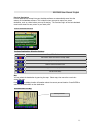
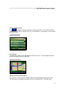
The GPS symbol may change colors indicating the strength of the signal. The GPS symbol colors
mean:
• Green - GPS signal is free from obstruction and is being received regularly. At least four
satellites are being received.
• Yellow - GPS signal is partially obstructed. Three satellites are being received.
• Red - GPS signal is unavailable. Two or fewer satellites are being received.
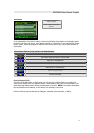
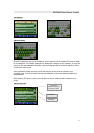
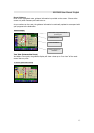
Point of Interest Symbols
Symbols
Categories
AIRPORT
AMUSEMENT PARK
ATM
AUTO DEALERSHIP
AUTO SERVICE AND MAINTENANCE
SIC AUTOMOBILE CLUB
BANK
BORDER CROSSING
BOWLING ALLEY
BUS STATION
BUSINESS FACILITY
CAFE
CAKE AND PASTRY SHOP
CAMPING
Vehicle symbol
Current location
GPS reception status
Compass heading
Map scale
Point of Interest
Park