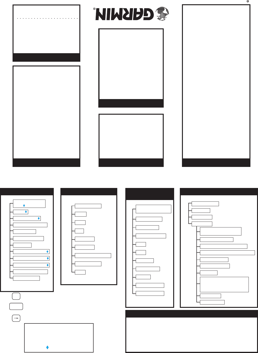
Apollo GX60/65 Quick Reference Guide
Apollo GX60/65 Quick Reference Guide
Press the indicated key and then
turn the LARGE knob to view the
pages shown. Turn the SMALL
knob for more info when available
(diamond shown).
Ident, Type,
& City/Facility Name
Bearing & Dist
Map
Runways
Approaches*
Lat/Lon
Sunrise/Sunset
WPT Comment
*GX60 when enabled
Frequencies
Type & Elevation
Fuel
Press INFO
Waypoint Information
(INFO)
Turn SMALLKnob
Press SEL to edit information or to select options.
Press ENTER to enter and save information. In the
Comm function, ENTER saves the Standby frequency.
Press DIRECT-TO to define a direct course from
your present position to a selected waypoint.
ENTER
D
SEL
Press MAP
Moving Map (MAP)
Map plus Nav
Map Only
Map Setup
SAR Map*
Route Line, Map Orient,
& Map Reference
Symbol & ID Setup
Track History (On, Save, Int)
Track History (Strat, Clear,Used)
Airspace Setup
Airspace Buffers
ATC Ring
AirspaceTypes (B, C, MOA,
Training, Unknown,Alert,
Caution, Danger, Restricted,
Prohibited, & Warning)
SAR Setup*
SAR Position* * when enabled
Turn LARGE Knob
Turn SMALLKnob
Direct-To
1. Press DIRECT-TO. (Check the Direct-To options in System-Nav Info)
2. Turn the SMALL knob to select waypoint type. Then turn LARGE knob to
the waypoint ident or name.
3. Use LARGE & SMALL knobs to select ident or name.
4. Press ENTER. Now, fly direct to the selected waypoint.
waypoint
Press NAV
Navigation (NAV)
Turn LARGE Knob
ETE, CDI, BRG, &
RGE
RAIM*
Altitude Assist
Parallel Track (PTK)
GPS Position
Countdown Timer
Arc Assist
From/To/Next (Dist)
From/To/Next (ETE)
From/To/Next (ETA)
From/To/Next (Wpt)
Tuned Station**
* GX60 only
** when configured
Airport (ARPT)
VOR
NDB
INT
LocDme
User WPT
Search Around WPT
Runway Limits
SUA
Press NRST
Nearest Waypoint (NRST)
Turn LARGE Knob
1. Press FPL. Turn LARGE knob
to the “Create New Flight Plan”
page and then press ENTER.
2. To enter a new plan name, press
SEL.
3. Turn the SMALL knob to select
characters. Turn the LARGE knob
to move to the next character.
4. Press ENTER when the name is
complete.
5. Turn the SMALL knob to start
inserting waypoints into the flight
plan. At the INS? prompt, press
ENTER.
6. Turn the SMALL knob to select
the first character. Turn the
LARGE knob cw to move to the
next character.
7. Use the SMALL and LARGE
knobs to select the waypoint
name and then press ENTER.
8. The INS? prompt will flash for
the next waypoint. Press ENTER
and repeat steps 5-7 until
finished.
9. Press SEL to stop editing
your flight plan.
Creating a Flight Plan
1. Press DB.
2. Turn the LARGE knob to the
Access Database page and
press ENTER.
3. Turn the SMALL knob to select
waypoint type.
4. Turn the LARGE knob to the
desired character and turn the
SMALL knob to select characters.
5. Press INFO.
6. Turn the SMALL knob to view
information.
7. Press INFO again or ENTER
to exit.
Finding Info On A Waypoint
1. Press DB.
2. Turn LARGE knob to the
Create User Wpt By Lat/Lon
page and then press ENTER.
3. Use the SMALL to select
characters and turn the LARGE
knob to move the cursor to set
the waypoint name.
4. Continue to select the
necessary characters for the
Lat/Lon and runway length.
5. Press ENTER when finished.
Creating A New Waypoint
1. Press FPL.
2. Turn the LARGE knob to the
desired active flight plan and
press SEL.
3. Turn the SMALL knob to
select the desired option and
press ENTER.
Activating a Flight Plan
2345 Turner Rd., S.E.
Salem, OR 97302
USA 800-525-6726
Canada 800-654-3415
International (503) 391-3411
FAX (503) 364-2138
http://www.garminat.com
P/N 561-0236-03 RevA
September 2003
1999-2003 by GarminAT, Inc.
Printed in the U.S.A.
All Rights Reserved
1. Press NRST.
2. Turn the LARGE knob to change
Wpt type.
3. Turn the SMALL knob to view
nearby waypoints.
4. Press DIRECT-TO and then
ENTER to fly direct to the wpt.
Emergency Search